


Steve grew up in the Back Mountain and attended Lake Lehman High School. His respect for the environment and love of the outdoors stems from his time as a Boy Scout for Troop 241 where he earned the rank of Eagle. It is through scouting where he spent countless days and nights camping and backpacking all throughout the beautiful trails in Eastern and Central Pennsylvania. He spent two summers in high school doing trail maintenance work in the Boundary Waters Canoe Area (BWCA) National Forest through the Order of the Arrow. It is through this program that Steve learned to practice the principles of “Leave No Trace” as well as learning the importance of team work.
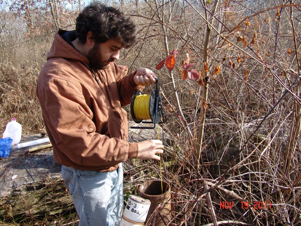
Steve Cornia, EPCAMR’s recent hire as a GIS Watershed Outreach Technician grabbing a water level sample.
He earned his Bachelor’s degree in Geology from Lock Haven University after spending two years at LCCC. While attending Lock Haven, he managed the university’s soils and water lab. It was during his time working in the lab where he was first exposed to the true effects of AMD while working on a water quality projects testing the effectiveness of a passive AMD treatment plant. Under his supervisor, Dr. Khalequzzaman, Steve also helped implement several baseline water quality monitoring projects in watersheds in the Marcellus Shale drilling regions. His hard work and dedication in the lab earned him the Lock Haven University Environmental Stewardship award. From there, he completed his geology field camp in the Black Hills through the South Dakota School of Mines, where he honed in his field techniques.
He attended graduate school at Shippensburg University for Geoenvironmental studies, working as a Graduate Assistant in the Technology Student/Faculty Helpdesk. It is at Shippensburg where Steve gained most of his formal training in GIS and where he learned how to apply the technology to suite a wide range of different projects.
In his spare time, you can find Steve outside hiking or biking the local trails, fishing, playing music with his friends, or relaxing by a campfire.
“I am looking forward to the opportunity to be able to contribute my skills and knowledge of GIS, geology, and hydrology to the many exciting projects that EPCAMR is involved with. It is exciting to be part of a team of like-minded individuals with the common goal of building a cleaner and safer environment and giving back to our community through our many educational outreach programs.”
“EPCAMR is looking forward to bringing Steve on board with his background and experience in GIS and field monitoring to help us continue to provide the much needed technical assistance that we are currently giving to our coalfield community groups and State and Federal agencies that have partnered with us for over the last 20 plus years”, enthusiastically said, Robert Hughes, EPCAMR Executive Director. “From day one, we have him jumping right in once his initial orientation to the office was held and some administrative duties, to scanning mine underground mine maps and cataloging them from Western Middle Anthracite Coal fields and learning the process of inputting the data fields we need to collect to submit to the PA Historic Underground Mine Mapping System (PHUMMIS) and he’s picked it up pretty quickly. While admitting that he’s a little rusty on ArcGIS, he’s looking forward to learning how to navigate ArcGIS 10.6 and ArcGIS Pro with EPCAMR to help us create mine map mosaics, digitize, and geo-reference the thousands of maps that we are inventorying for the State’s Mine Subsidence Insurance Program.”


You must be logged in to post a comment.